
 Interspect
INTERSPECT
Aerial Mapping, Environmental Conservation and Engineering
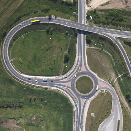
Orthophotos, Aerial Surveys
Production of orthophoto maps, 3D surface models and terrain models, contour maps, 3D point clouds, and LiDAR files
Details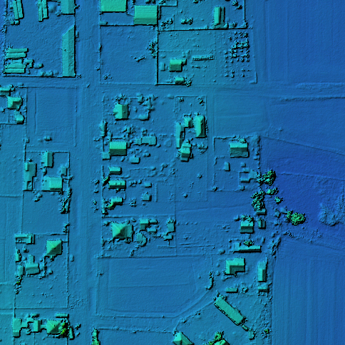
3D Documentation
Generation of three-dimensional point clouds, surfaces, and vector wireframe drawings of regions, cities, smaller settlements, forest compartments, structures, and objects.
Details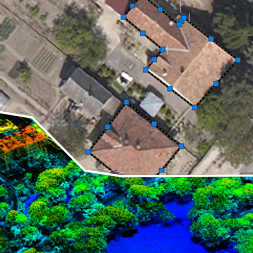
Feature Extraction & Analysis
Surveying of building stock, traffic signs, public assets, engineering structures, tree inventory mapping, urban ventilation modeling, stormwater runoff accumulation, and flood modeling.
Further Information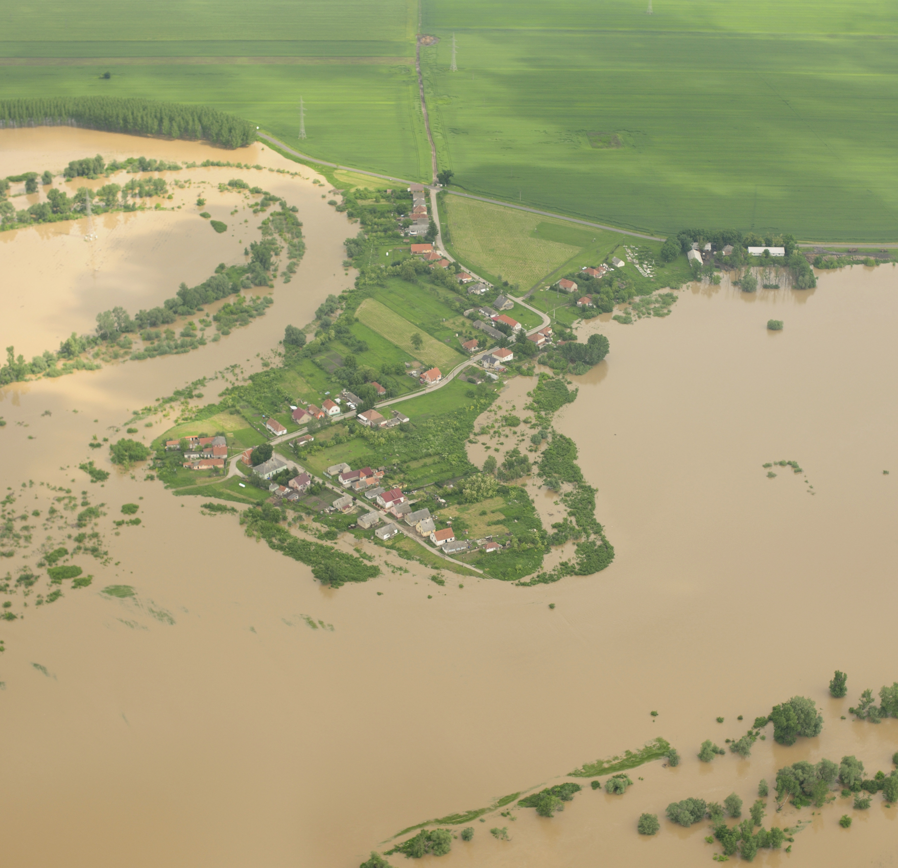
Flood and Inland Water Surveying
Flood and inland water status assessment, prevention, and modeling
Details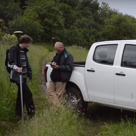
Geodesy
Engineering geodesy, topographic surveying, setting-out works, surveying of industrial sites, barracks, stream beds, and racetracks.
Further Information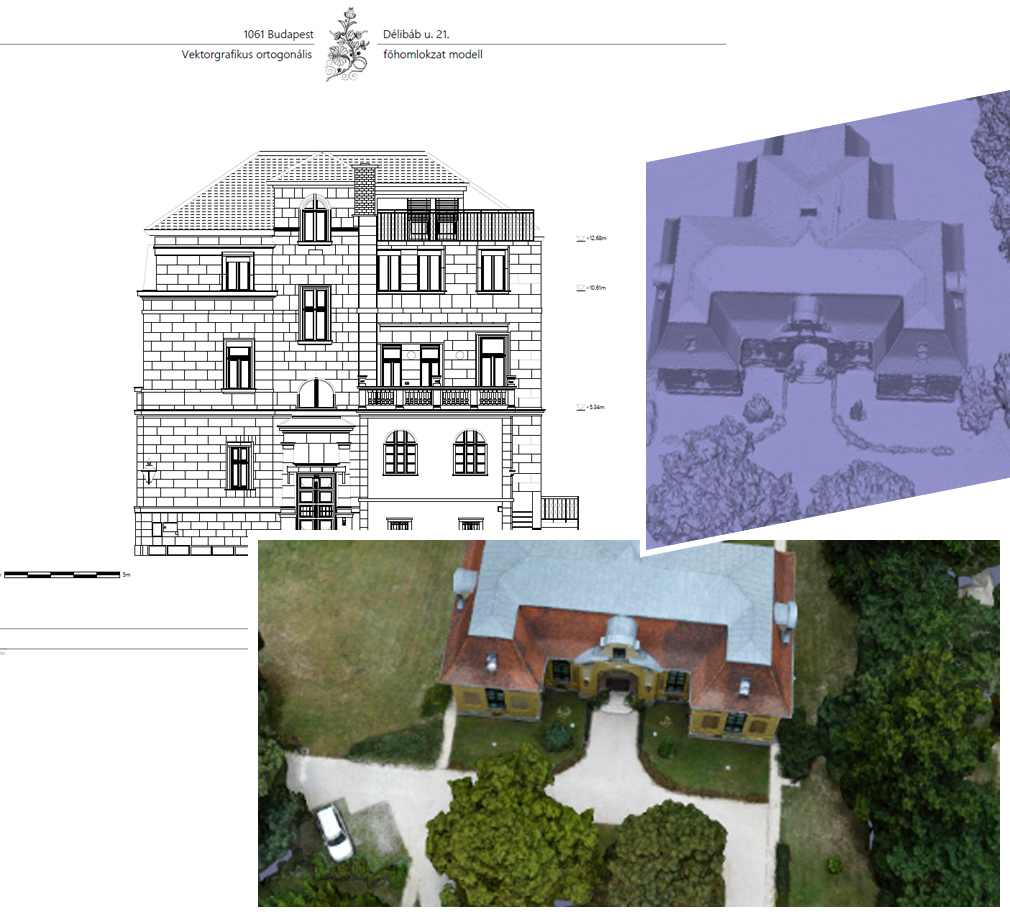
Facade Survey, Building Documentation
Three-dimensional exterior and interior mapping of buildings, producing orthophotos, vector wireframe drawings, and 3D models.
Details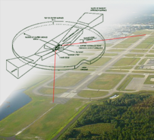
Airborne Instrumentation
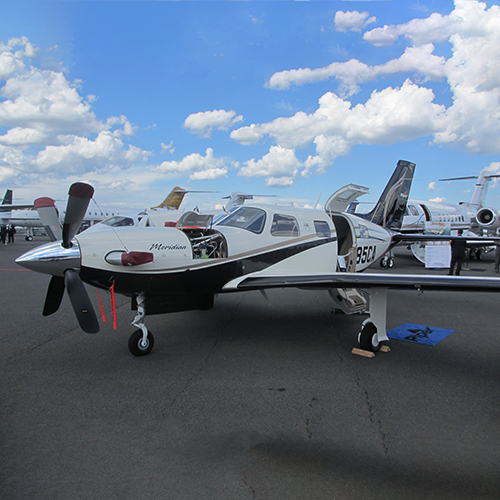
We have decades of experience in designing and manufacturing systems integratable into aircraft payloads and UAV platforms.
Developement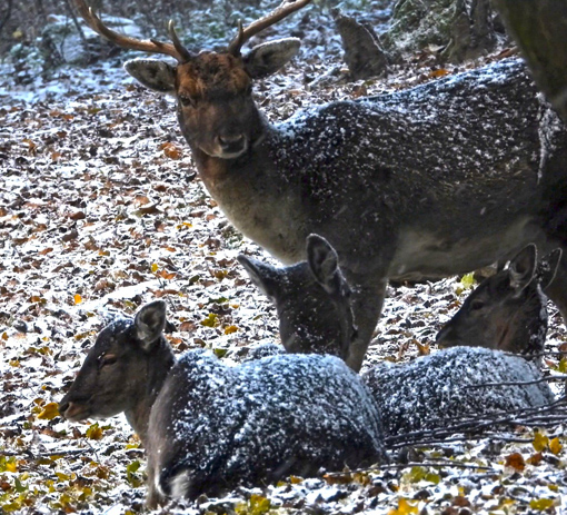
Camera Traps
Custom, purpose-built Interspect camera traps serving nature conservation
Interspect Camera Traps
Aerial Photography & Map Archive
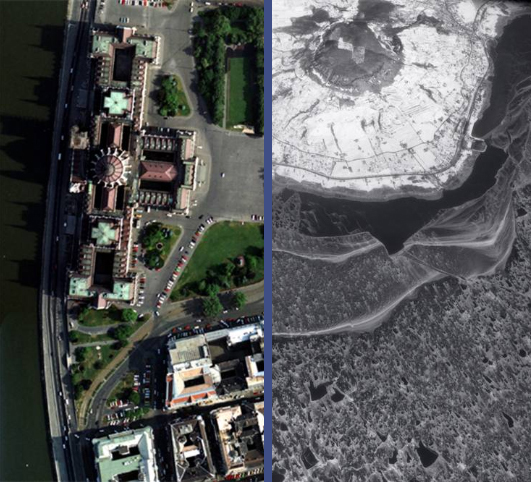
Our online aerial photography archive was founded in 2014. Nationwide orthophoto maps, oblique aerial photographs, vector maps, and spatial databases are searchable via interactive maps and keywords.
Archive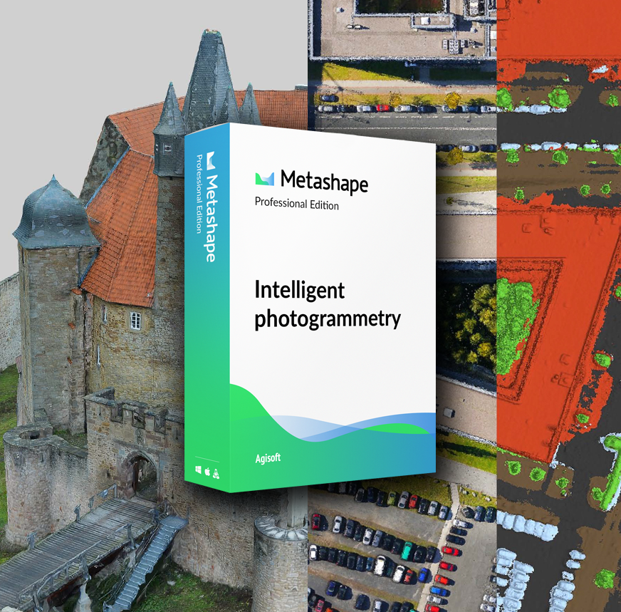
Agisoft Metashape
As the Hungarian distributor of Agisoft Metashape (formerly PhotoScan), Interspect Ltd. participates in software feature development, provides customized functionality, offers software training, and supplies turnkey photogrammetric workstations.
Details
Aerial Survey Flight Planner
The Interspect flight planning software has included a comprehensive database of available metric cameras and LiDAR sensors since 2014. It enables flight plan generation and features numerous quality assurance functions to guarantee product integrity.
DetailsCase Studies
Selected Key References
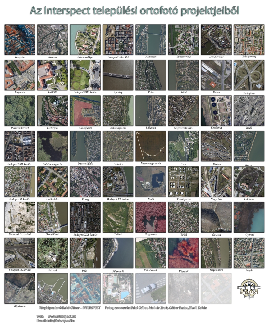
Urban Orthophotos
As a key supplier to numerous major cities and municipalities, our company periodically generates orthophoto maps for a significant portion of settlements across Hungary.
Details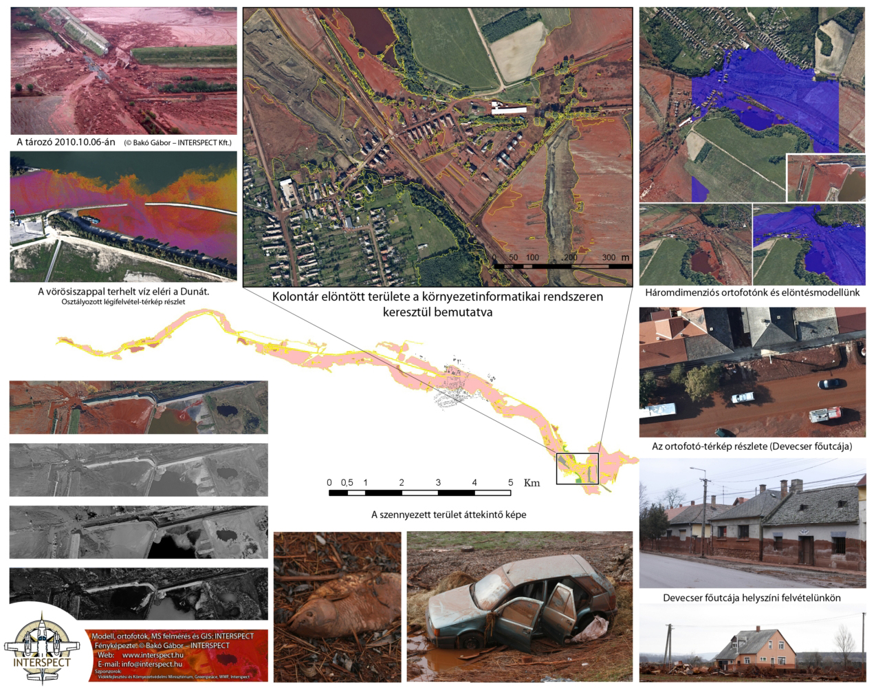
Aerial and Geodetic Surveying of the Red Mud Disaster
Airborne and field geodetic surveying of disaster-affected areas and the rapid development of an environmental information system were critical for planning emergency interventions and long-term monitoring.
Download Case Study (PDF)
Flood and Inland Water Surveying
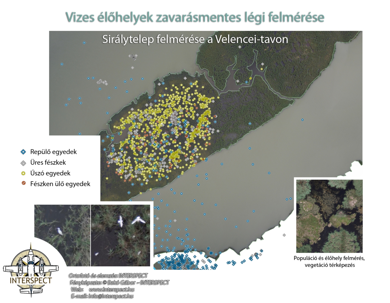
Environmental Monitoring Systems & Wildlife Census
Population assessment of waterfowl breeding colonies using non-disruptive aerial photogrammetric surveys conducted from high altitudes.
Technical Background of the Survey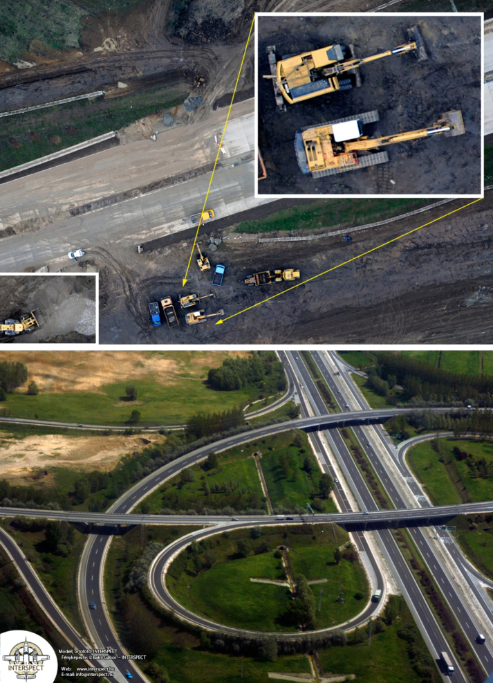
Aerial Monitoring of Infrastructure & Road Construction
Periodic aerial surveys of highway construction projects, delivering orthophoto mosaics, 3D point clouds, contour maps, vector graphics, and aerial video documentation.
About the Deliverables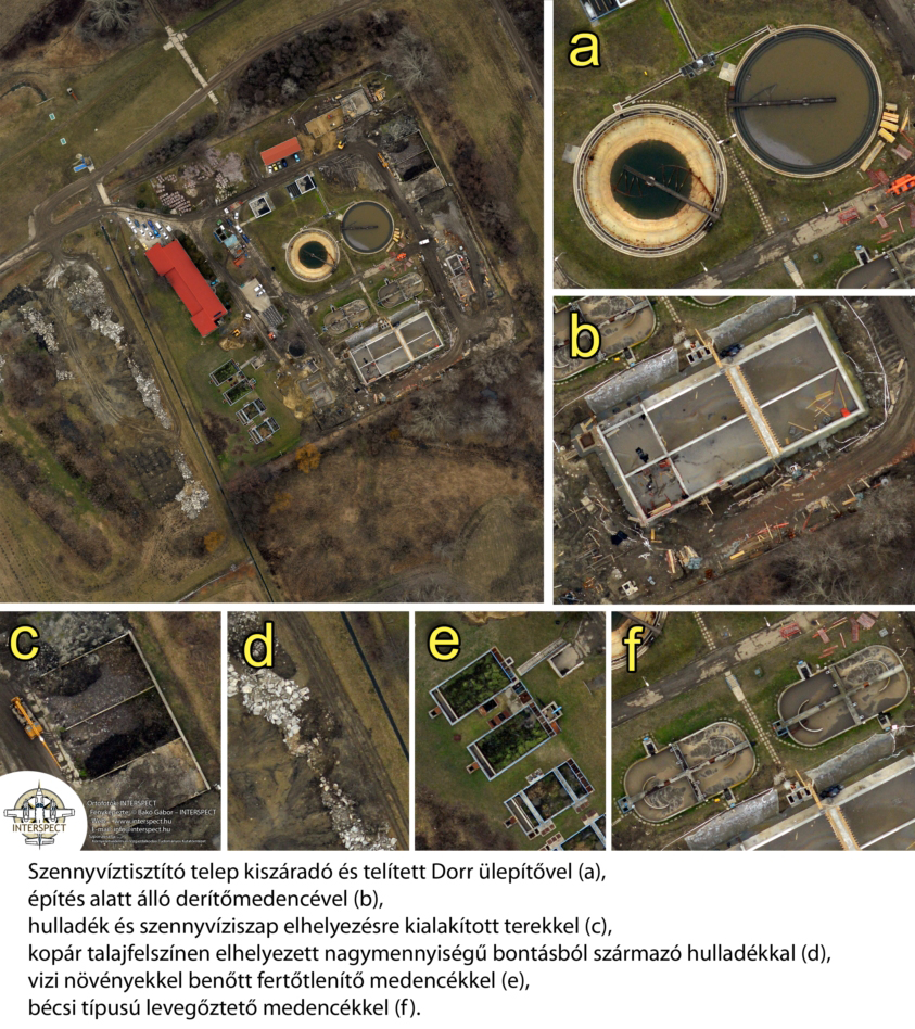
Aerial Surveying of Wastewater Treatment Plants
Operational efficiency assessment, mapping, and monitoring of wastewater treatment facilities.
Download Image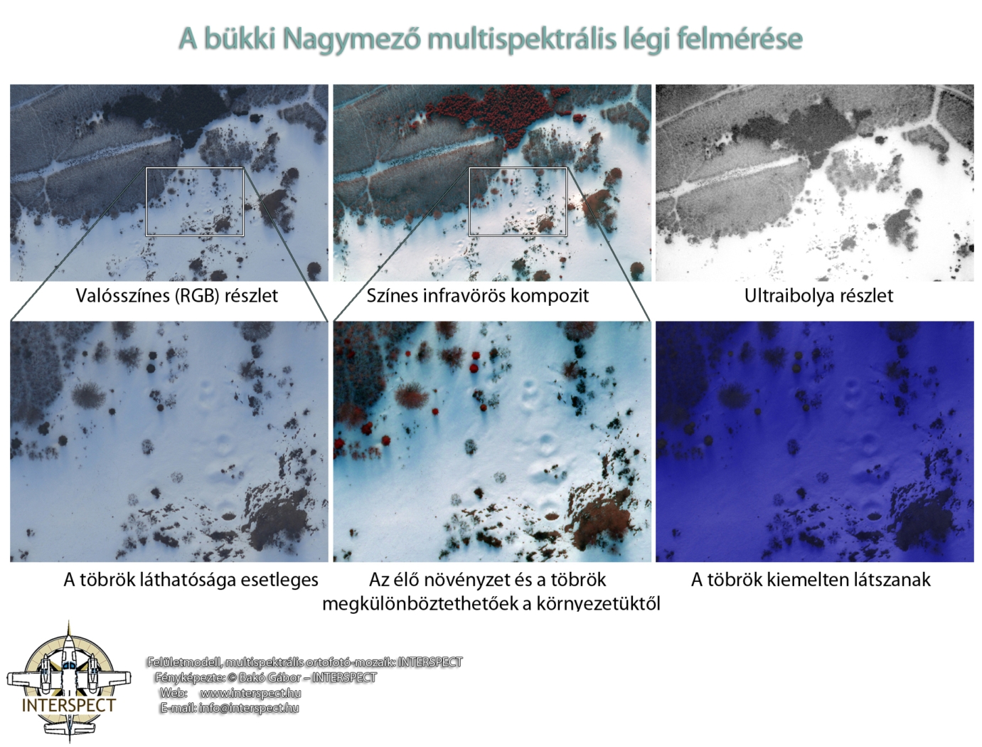
Environmental Aerial Surveys
Multispectral aerial survey of the Nagymező area in the Bükk Mountains
HRAMN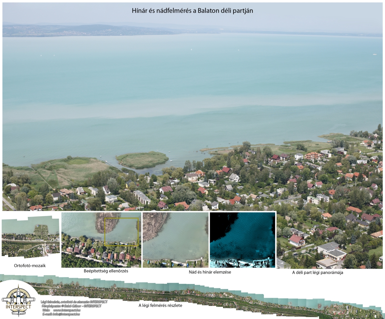
Environmental Aerial Surveys
Reedbed and aquatic macrophyte mapping along the southern shore of Lake Balaton
Download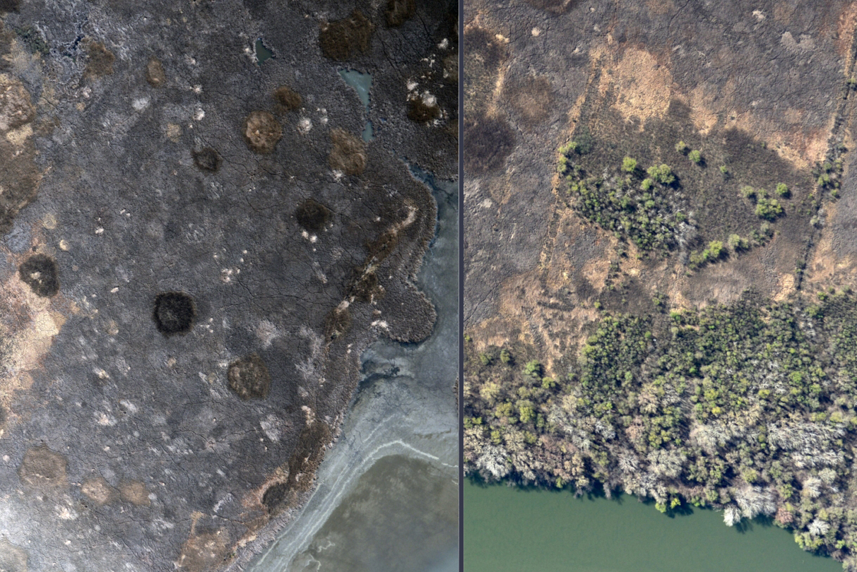
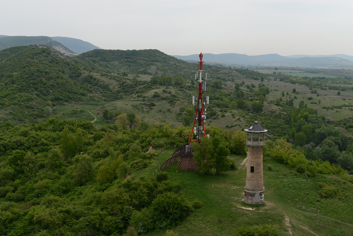
OPTIMAL PLACEMENT OF TELECOMMUNICATION BASE STATIONS
Cost-effective aerial photogrammetric surveys generate spatial data that facilitate RF propagation simulations, enabling optimal base station placement.
Download Methodological Article (PDF)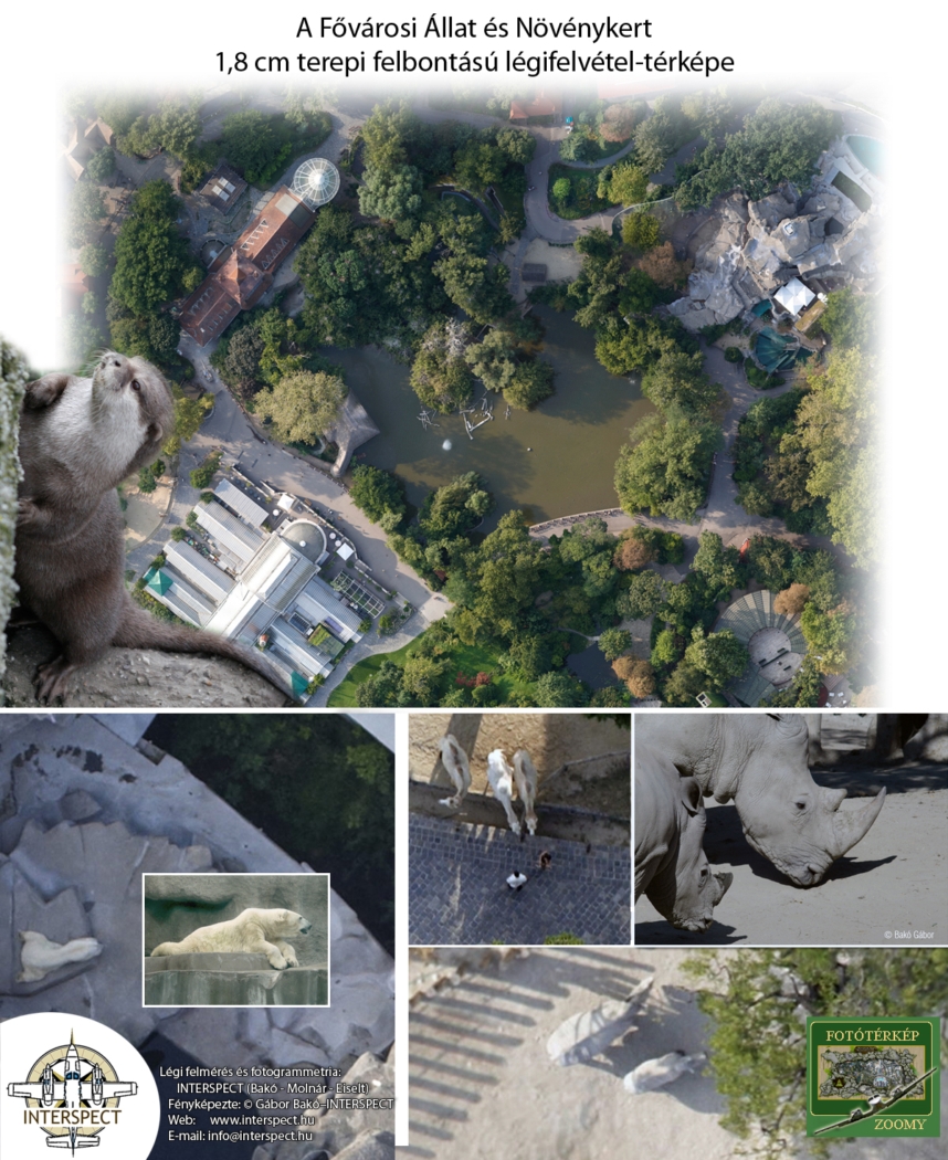
Orthophoto Mosaic of the Budapest Zoo at 1.8 cm, and Exactly Ten Years Later at 0.5 cm Ground Sampling Distance (GSD)
High-speed, large-area aerial surveys with ultra-high spatial resolution using digital metric cameras mounted on fixed-wing aircraft.
Ultra-High Resolution Surveys in Practice